About it
What it looks like
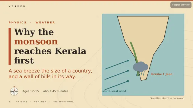
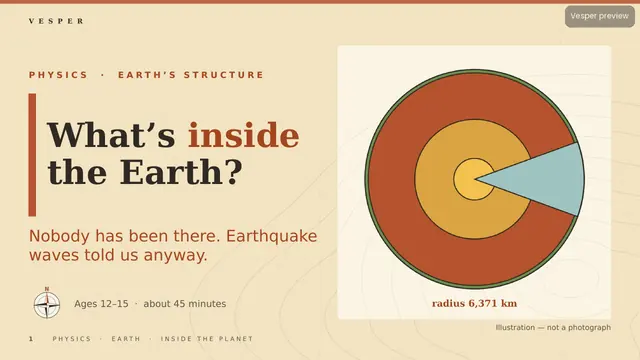
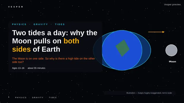
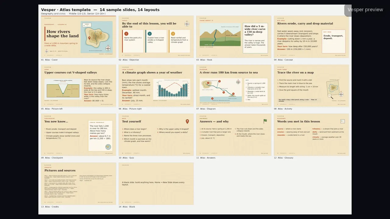
Light parchment with faint contour lines and a latitude-longitude grid, terracotta, sea teal, ochre and field green, Georgia headings with Trebuchet MS body text, and nearly square corners.
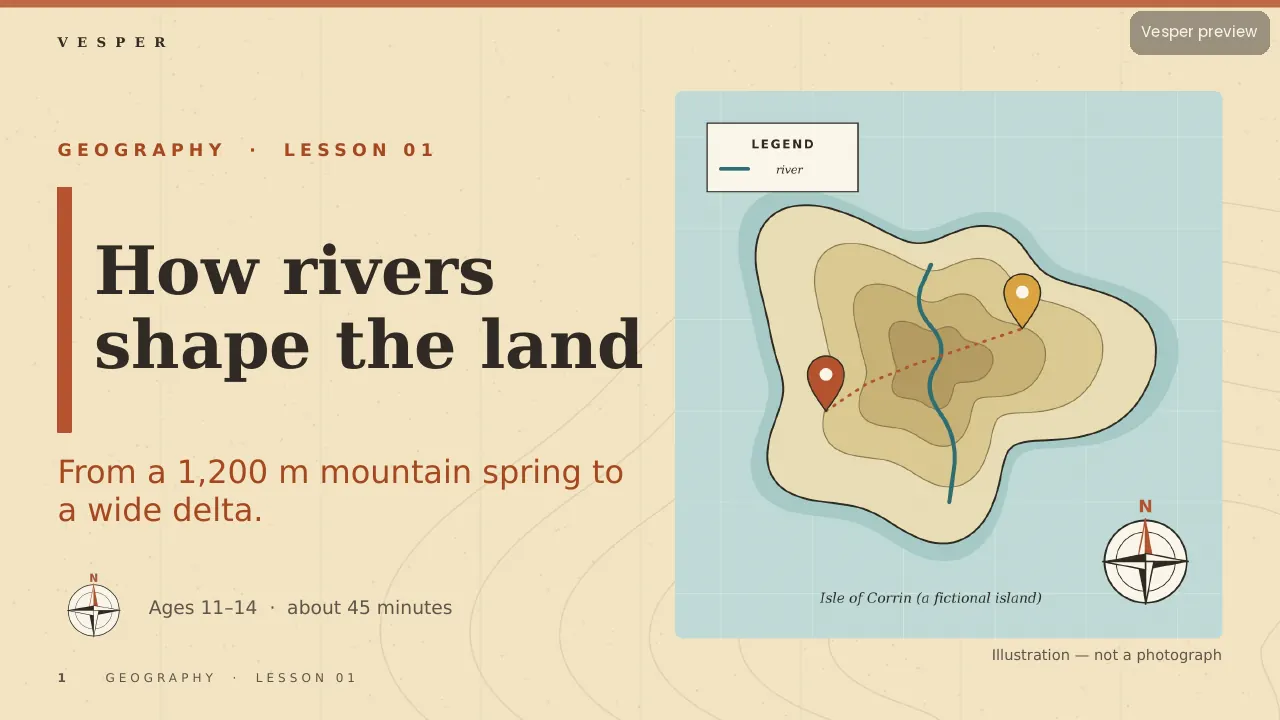
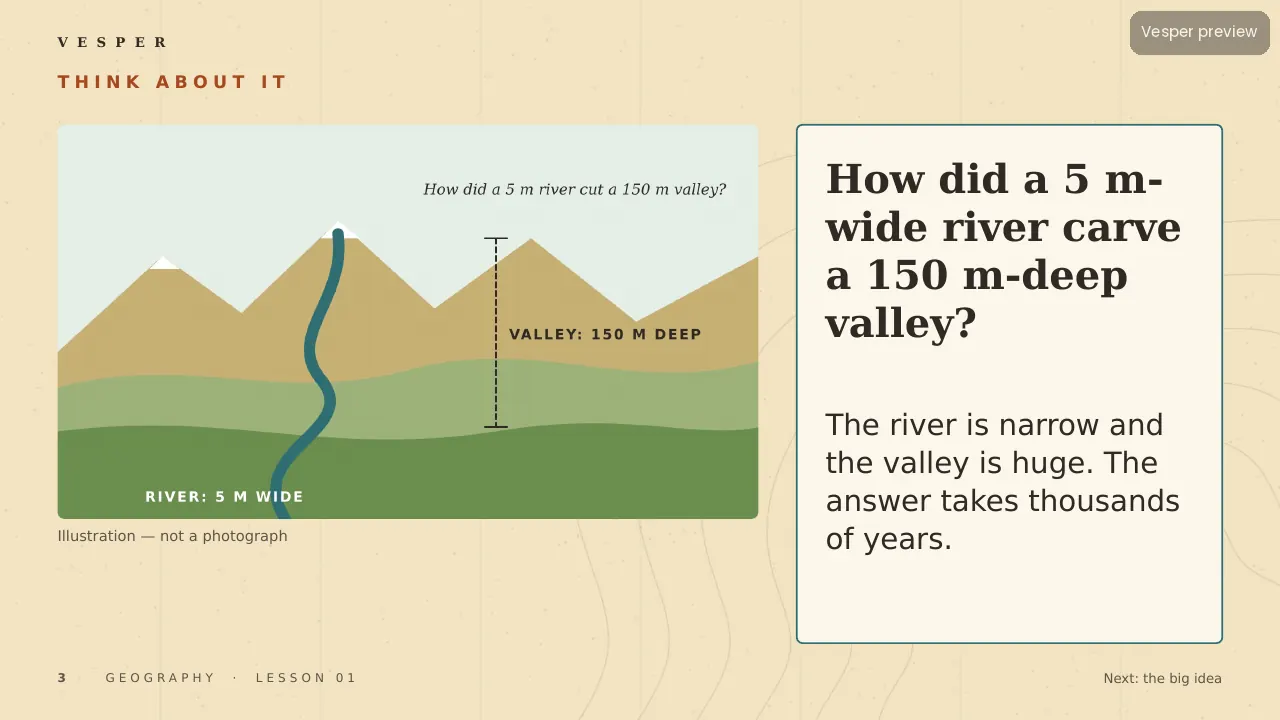
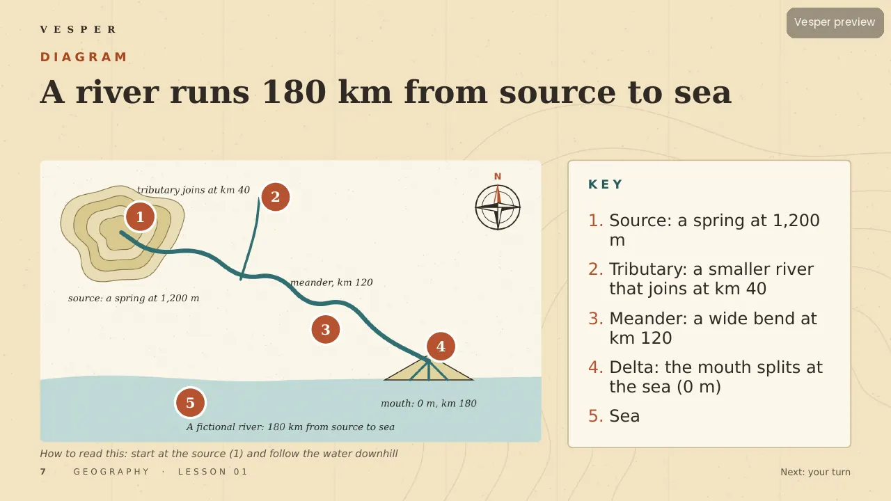
The motifs come from the subject: maps with contour lines and a legend, a compass rose, landform cross-sections (river, valley, delta), climate graphs with rainfall bars and a temperature line, a globe with latitude and longitude, and map pins and routes. No space imagery except Earth-from-space when a topic needs it, no historical artefacts as decoration, and sample maps are fictional so no real border is drawn wrongly.
Inside the template
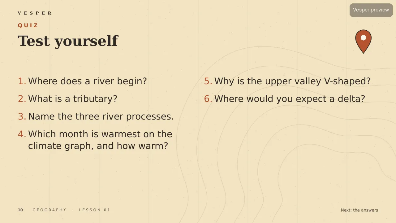
14 named layouts: Cover, Objective, Hook, Concept, Picture left, Picture right, Diagram, Activity, Checkpoint, Quiz, Answers, Glossary, Credits and Blank. Illustrations use flat map colours, dotted routes and small-caps place labels.
Its 20 sample pictures include a fictional island with contours and a river, a V-shaped valley cross-section and a climate graph for a fictional town. Every slide gets the wordmark, a live slide number and an editable series line from the master. Fonts are standard ones that ship with PowerPoint.
How teachers use it
Double-click the .potx to start a new deck, then choose Home, New Slide and pick a layout by name. Replace a sample picture by right-clicking it and choosing Change Picture. Use the Diagram layout for a numbered map or cross-section and Picture right for a climate graph beside its explanation. Change the series line once in View, Slide Master. The two-page How-to-use PDF walks through it.
Who it’s for
Teachers of geography and civics for ages 10–16 (Middle (10–13) and Senior (14–16+) bands). Any Vesper lesson built on Atlas uses the same slide master, so your own slides sit beside it without a join. It is also part of the all-templates bundle.